Independent geospatial & software studio

From observations
to useful software.

Remote sensing data processing and scientific software development for researchers and small teams. Clear methods. Practical tools. Work you can build on.

Remote sensingScientific computingResearch tools
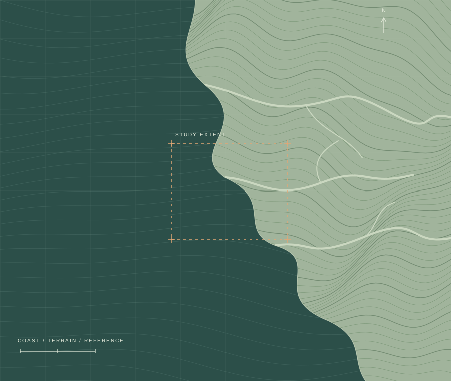
Illustrative coastal terrain with contour lines, tidal channels and an outlined study area.
FIELD NOTES / 001Coastal terrain · illustration
A focused practice

Where geospatial questions meet thoughtful engineering.

Meet the studio

01 / Selected work

Built for the work itself.

Public projects developed by Yuhao Wang. Explore the source, documentation and current capabilities.

Open code, inspectable methods. Current status: PaperPilot v1.0.2 for Zotero (October 2026); PaperPilot Web v0.2.1, self-hosted (October 2026); CoastTideX v1.7.1 codebase (documentation updated September 2026). Claude API integration is in planning and evaluation, not a current feature.

More on GitHub

02 / How we can help

A research question.
A workable path forward.

Focused project work, from a well-defined data problem to a documented software handoff.

01

Remote sensing & geospatial data

Prepare, align and process raster and spatial datasets for research. Define the study area, check coordinate and height references, and make the processing repeatable.

  • Raster processing
  • Coastal & environmental workflows
  • Batch automation

Typical deliverablesProcessed datasets, reusable scripts, quality checks and a methods note.

02

Scientific software development

Turn a research method or an existing script into a tool others can use. Build command-line workflows, desktop interfaces, data utilities and research plugins.

  • Python & TypeScript
  • GUI / CLI tools
  • Testing & documentation

Typical deliverablesSource code, an agreed setup or build, tests and usage documentation.

03

AI-assisted research applications

Scope and prototype useful AI features around documents and scientific tools. PaperPilot is an existing example; Claude API integration for geospatial workflows is being planned and evaluated.

  • Document workflows
  • Model API integration
  • Evaluation & human review

Engagement scopeA defined prototype, documented data handling and evaluation against agreed examples.

03 / Working together

Small scope. Clear handoff.

Start with a concrete question and a representative sample. Agree on what success means before expanding the work.

01 / Understand

Define the question.

Discuss your data, constraints and expected outputs. Identify what is feasible and what needs investigation.

02 / Build & check

Work on a small example.

Develop the workflow on representative data. Review assumptions, edge cases and the resulting outputs together.

03 / Deliver

Make it repeatable.

Hand over the agreed code, results and documentation so your team can understand and continue the work.

The person behind the work

An independent studio.
A direct conversation.

HaoHorizon is led by Yuhao Wang, the developer behind CoastTideX and PaperPilot. The focus is practical: useful geospatial workflows, research software and carefully evaluated AI applications.

When you get in touch, you speak directly with the person developing the work.

About HaoHorizon

Have a project in mind?

Let’s make it work.

Send a short description of your question, data and intended deliverable. We can discuss scope, feasibility and next steps.

hello@haohorizon.com
Useful to include
  • Your research or business question
  • Data format and approximate volume
  • Outputs you need to use or share
  • Timing and any practical constraints

No need to send sensitive data in your first message.

A few practical questions.

Can we start with a small task?

Yes. A narrowly defined processing step, software utility or feasibility study is a useful place to start. Scope and terms are discussed before work begins.

Are the projects available to try?

CoastTideX source and documentation are public. PaperPilot v1.0.2 has a published Zotero add-on package. Each project page links to the relevant repository and setup instructions.

Can an AI feature be part of a project?

Yes. We can scope an AI-assisted document or tool workflow and evaluate it against representative examples. Provider access, data handling and human review need to be agreed. PaperPilot offers an existing example; future Claude integration is in planning and evaluation.